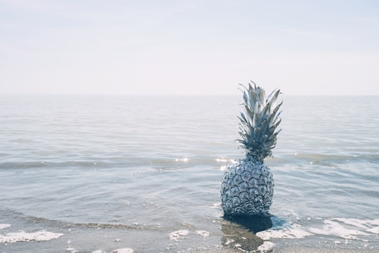
Travel Guide of Port Burwell in Canada by Influencers and Travelers
Port Burwell is a community on the north shore of Lake Erie, in the Municipality of Bayham in Elgin County, Ontario, Canada. It is situated at the mouth of Big Otter Creek, which stretches more than forty miles north through Bayham to Tillsonburg and Otterville, and with the harbour at Port Burwell was of historic importance in the development of landlocked Oxford County.
Download the Travel Map of Canada on Google Maps here
The Best Things to Do and Visit in Port Burwell
TRAVELERS TOP 5 :
- Port Burwell Provincial Park
- Port Bruce Provincial Park
- Aylmer
- Springwater Conservation Area
- Port Stanley
1 - Port Burwell Provincial Park
Learn more

2 - Port Bruce Provincial Park
18 km away
Learn more


3 - Aylmer
20 km away
Aylmer is a town in Elgin County in southern Ontario, Canada, just north of Lake Erie, on Catfish Creek. It is 20 kilometres south of Highway 401. Aylmer is surrounded by Malahide Township.
Learn more

4 - Springwater Conservation Area
21 km away
Minesing Wetlands, previously known as Minesing Swamp, is a Ramsar boreal wetland in central Ontario, Canada stretching from the western periphery of Barrie to Georgian Bay. It was identified and classified through the International Biological Program.
Learn more Book this experience

5 - Port Stanley
34 km away
Port Stanley is a community in the Municipality of Central Elgin, Elgin County in Ontario, Canada. It is located on the north shore of Lake Erie at the mouth of Kettle Creek. In 2016, it had a population of 2,148.
Learn more

Disover the best Instagram Spots around Port Burwell here
Book Tours and Activities in Port Burwell
Discover the best tours and activities around Port Burwell, Canada and book your travel experience today with our booking partners
Pictures and Stories of Port Burwell from Influencers
2 pictures of Port Burwell from Michael Krahn, , and other travelers

- The rush of small waves, reflecting a luminous sunset sky. ...click to read more
- Experienced by @Michael Krahn | ©Unsplash

- A star shining out of driftwood. ...click to read more
- Experienced by @Michael Krahn | ©Unsplash
Plan your trip in Port Burwell with AI 🤖 🗺
Roadtrips.ai is a AI powered trip planner that you can use to generate a customized trip itinerary for any destination in Canada in just one clickJust write your activities preferences, budget and number of days travelling and our artificial intelligence will do the rest for you
👉 Use the AI Trip Planner
Why should you visit Port Burwell ?
Travel to Port Burwell if you like:
🏖️ Beach 🏖️ OceanWhere to Stay in Port Burwell
Discover the best hotels around Port Burwell, Canada and book your stay today with our booking partner booking.com
More Travel spots to explore around Port Burwell
Click on the pictures to learn more about the places and to get directions
Discover more travel spots to explore around Port Burwell
🏖️ Beach spots ️🏜️ Desert spots 🏖️ Coast spots 🌊 Ocean spots 🌴 Tropics spotsTravel map of Port Burwell
Explore popular touristic places around Port Burwell
Download On Google Maps 🗺️📲